


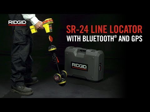
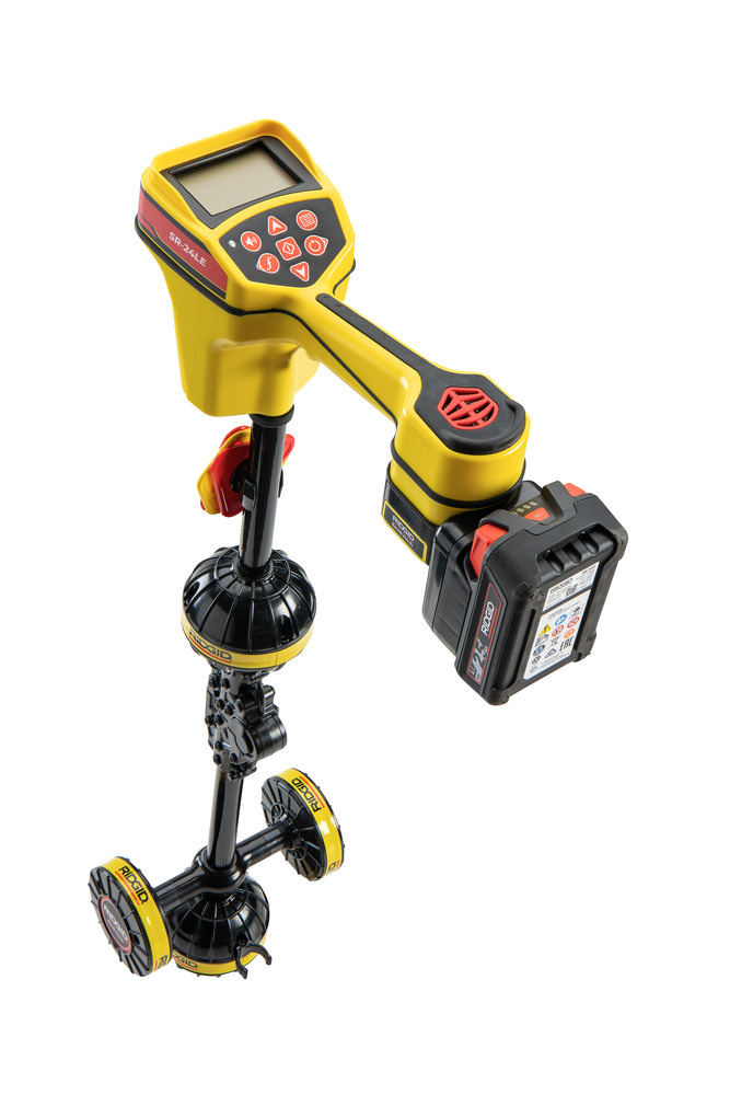
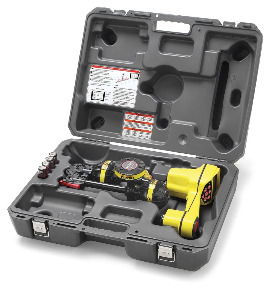
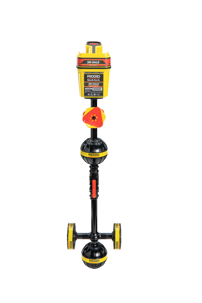
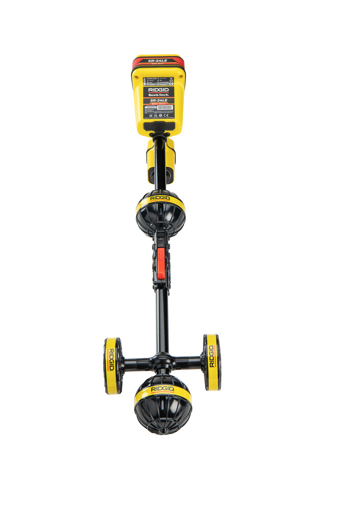
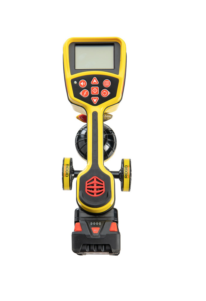
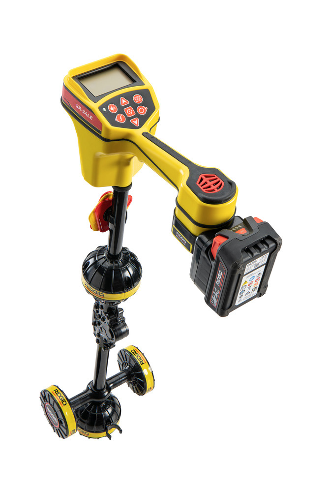

Ridgid 19243 SeekTech SR-24 LE Utility Line Locator
Features
- The RIDGID SR-24LE is an accurate utility line locator instrument featuring GPS and Bluetooth® Low Energy technology for easy integration with external data storage devices.
- The SR-24LE’s intuitive map display shows the approximate position, direction, and depth of the utility line, while audio signals guide the operator along the line.
- The omnidirectional antennas capture the entire signal field, making signal finding and trajectory tracking not only simple but also fast and accurate thanks to left/right guidance along the signal.
- This positioner is already equipped with a SeekTech 18V battery adapter and can be used with a RIDGID 18V lithium-ion battery (not included) for long-lasting power on the go.
- Bluetooth® compatibility - Bluetooth® Low Energy technology streams data to smartphones, tablets, or high-precision GPS instruments.
- Integrated battery adapter - Equipped with a SeekTech battery adapter for your RIDGID 18V Lithium-ion battery (battery sold separately).
- Delineation - The intuitive map view shows the approximate position, direction, and depth of hidden utilities.
- Omnidirectional antennas - Capture the entire signal for greater speed and accuracy.
- Built-in GPS - Tracks location coordinates for map viewing and GIS applications.
- Wireless streaming - Transmit in real time Coordinates of the pipe location with the RIDGIDtrax App.
- More confidence - Audio and visual warnings in case of deformation.
- Portable - Foldable mast for easy transport and storage.
Applications
- Utilities: Tracing underground water and gas pipes.
- Inspection cameras: Locating SeeSnake cameras and other inspection systems with transmitters.
- Electrical cables: Passively locating cables without a transmitter.
Benefits
- Accuracy: Multidirectional antennas and graphical display minimize incorrect localization.
- User-friendly: Intuitive operation and clear feedback.
- Versatile: Works with various frequencies and applications.
- Combination with RidgidTrax possible via Google Play App-Store
RidgidTrax
- With RIDGID Trax, you can map underground utility lines in real-time using basics.
- When you wirelessly connect an Android or iOS device to a RIDGID® SR-24 locator, RIDGIDtrax displays the GPS position and depth of the traced line.
- Identify the type of line (water, gas, electricity, etc.) and display multiple lines on the same map.
- The final map can be saved and viewed in the app, or exported to a *.KMZ file for use with common GIS programs, such as Google Earth®.
- Combination with RidgidTrax possible via Google Play App Store
Ridgid Connect
- This product is integrated with RIDGID Connect, an online website designed for professional contractors and service providers.
- With RIDGID Connect, you can create and share media-rich reports with your clients. This concerns videos, documents, and images created on site.
- Combination with Ridgid Connect possible via Google Play App Store
Technical specifications
- Programmable line and probe frequenciesEach from 10Hz to 35kHz
- Standard active line tracing frequencies128Hz, 1kHz, 8kHz, 33kHz
- Passive feed lines50Hz, 60Hz
- Passive frequency range values<4kHz, 4kHz - 15kHz, 15kHz - 30kHz
- Programmable frequencies for line tracingUp to 35kHz
- Probe frequencies16Hz, 512Hz, 33kHz
- Wireless technologyBluetooth® Class 1 Low Energy
- Wireless range1000 m (1093 yds)
- Average GPS accuracyLess than 2.5 m (8.2 ft)
- Weight (without batteries)1.5 kg (3.3 lb)
- Length28.4 cm (11.2 inches)
- Width10.9 cm (4.3 inches)
- Height79 cm (31 inches)
- Battery type18 V Advanced Lithium Battery
- Operating temperature-20°C to 50°C (-4°F to 122°F)
- Storage temperature-20°C to 60°C (-4°F to 140°F)
Scope of delivery
- Case
- Battery adapter
- 4 x battery size C
- Mini B USB cable
- Marking chips
Comment